Where this storyline stands
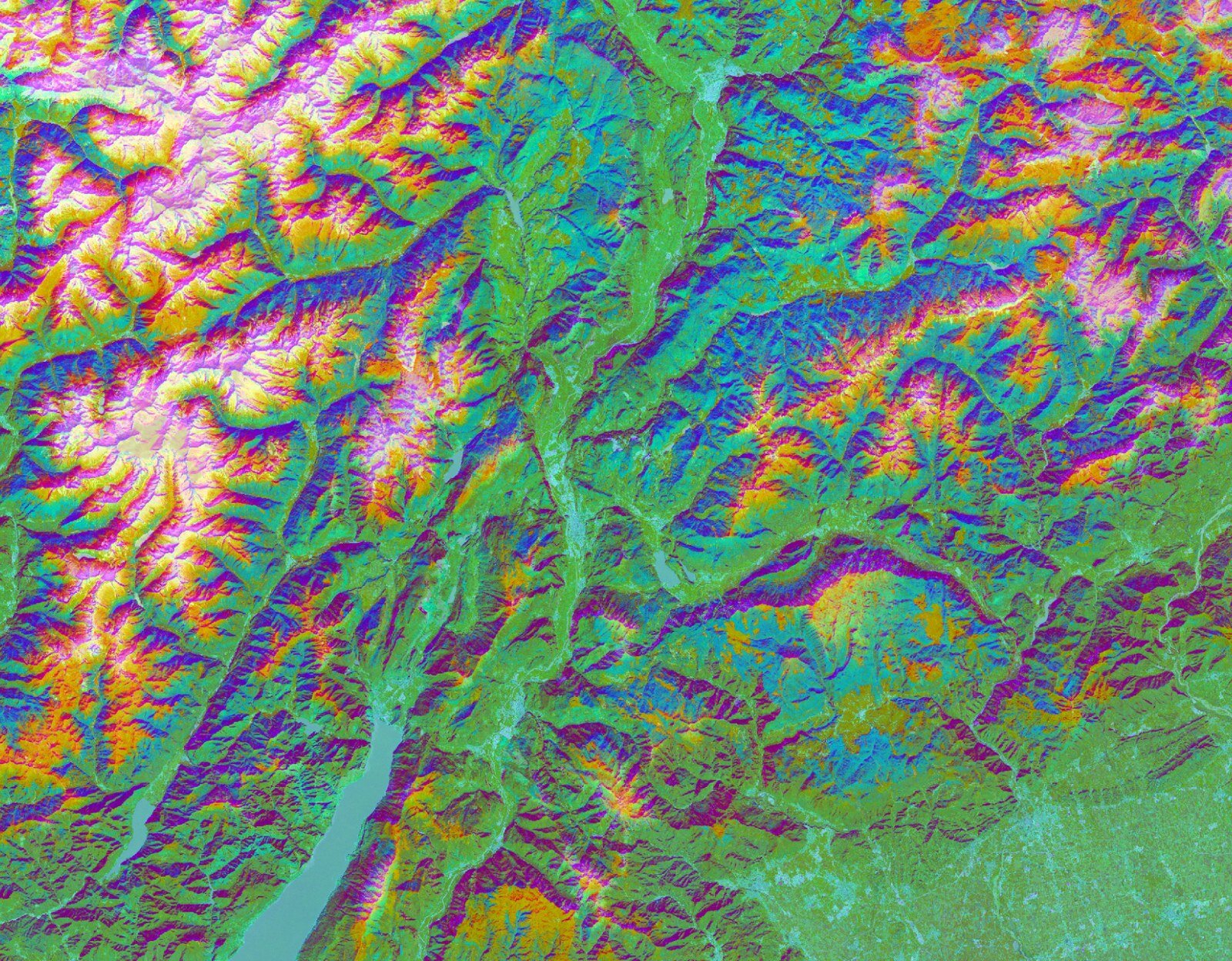
New research from the University of Cambridge offers an easy and readily available solution using AI and satellite data. In a paper published in the journal Science of Remote Sensing, researchers used embeddings by Tessera, a geospatial foundation model, to successfully map tree species across the Trentino region of the Italian Alps.
Complete chronological journey
Every chapter below is ordered by its exact event time, from the earliest connected report to the newest development.
- 01How it started01 — How it started
A faster, cheaper way to map the world's forests with AI
What happened
New research from the University of Cambridge offers an easy and readily available solution using AI and satellite data. In a paper published in the journal Science of Remote Sensing, researchers used embeddings by Tessera, a geospatial foundation model, to su A faster, cheaper way to map the world's forests with AI
Why it matters
The development may affect how technology is built, regulated or used. The practical impact depends on technical details, availability and independent evaluation.
SourcesPhys.orgphys.orgRead the connected article →